17 de June 2025

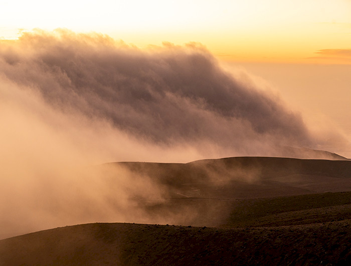
Every morning, a truly thick blanket of fog covers the coastal cliffs of northern Chile. It slips through the desert vegetation, envelops the hills, and disappears with the first rays of the sun. Today, thanks to a digital platform whose origins date back to long-standing research by the Atacama Desert Center and the Institute of …

First fog water map, a free interactive platform created in Chile Read More »
neblinometro-niebla_laslomitas

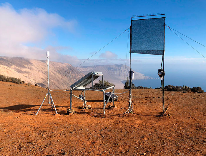
Every morning, a truly thick blanket of fog covers the coastal cliffs of northern Chile. It slips through the desert vegetation, envelops the hills, and disappears with the first rays of the sun. Today, thanks to a digital platform whose origins date back to long-standing research by the Atacama Desert Center and the Institute of Geography, both from UC Chile, this morning’s mist can be converted into a quantifiable, mappable, and usable source of water.

This is the Fog Water Map a free interactive platform that reveals how much water can be extracted from the coastal camanchaca in the north and center of the country, opening new possibilities to face the water crisis. The project is the result of long-standing scientific research led by UC Chile, through the UC Chile Atacama Desert Center (CDA, as per its Spanish acronym) in collaboration with the UC Chile Law and Water Management Center (CDGA, as per its Spanish acronym) and joint work with public institutions such as the General Water Directorate of Chile, the Chilean Ministry of Public Works and the Chilean Ministry of National Assets.

“The fog water map is an interactive platform that makes information about potentially collectable fog water for the coastal territories of northern and central Chile (18° and 35°S) available to the general public free of charge”, Camilo del Río, director of the UC Chile Atacama Desert Center.

Read the full note at UC Chile Website.


Comparte esta publicación
Compartir en FacebookCompartir en XCompartir por email